About the Candidate
Naume Mathobela is a geomatics technologist with a Bachelor’s and Postgraduate Diploma in the field. She excels in GIS, spatial data analysis, and tools like ArcGIS Pro, QGIS, and remote sensing. Her expertise includes topographic surveying, mapping terrain with GPS, LiDAR, and photogrammetry, and geodetic surveying, establishing precise reference points for large-scale mapping and infrastructure projects.


Related organisations


Projects & Experience
Showcasing GIS-related work with images, maps, and brief explanations.
Technical Skills & Certifications
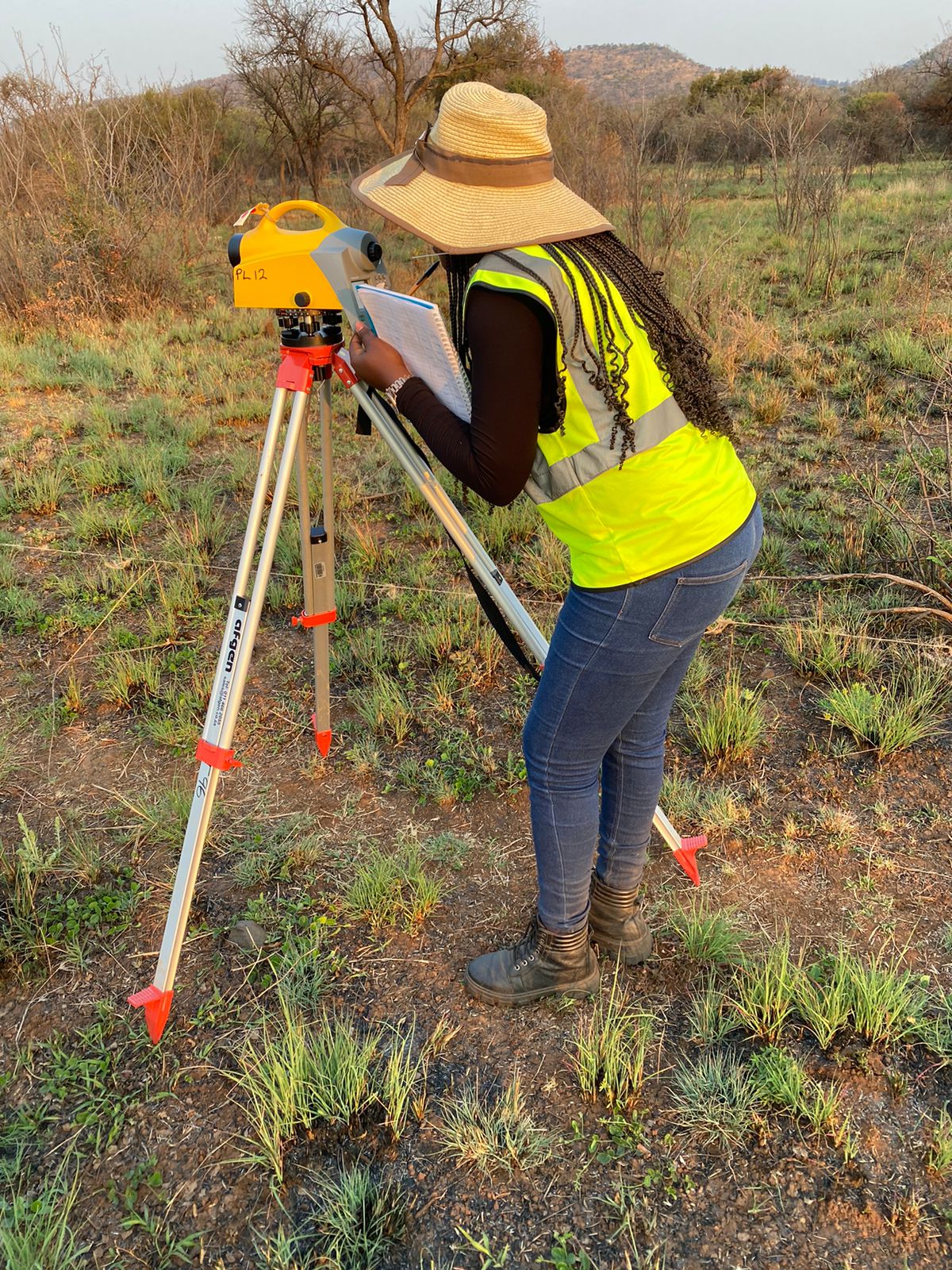
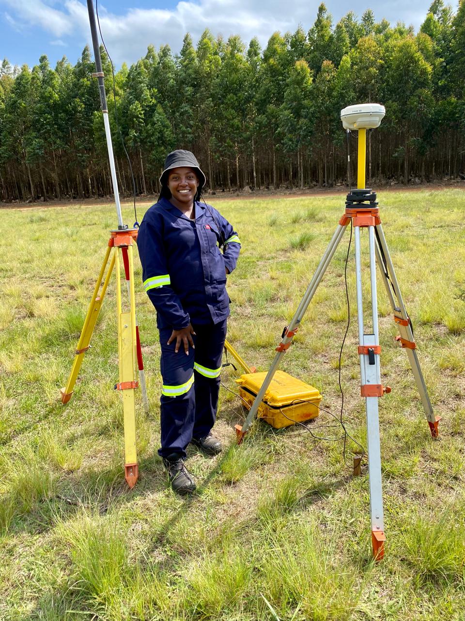
Proficiency in ArcGIS Pro, QGIS, remote sensing, spatial analysis, and map design. Naume has hands-on experience with topographic survey, capturing terrain features and elevation data using GPS, total stations to produce detailed contour maps and models. She also works with as-built surveys, recording precise locations of completed structures to confirm construction accuracy and compliance. She completed Esri’s basic training for ArcGIS Pro, gaining skills in data integration, visualization, and spatial analysis. Learn more about the course here.

Portfolio
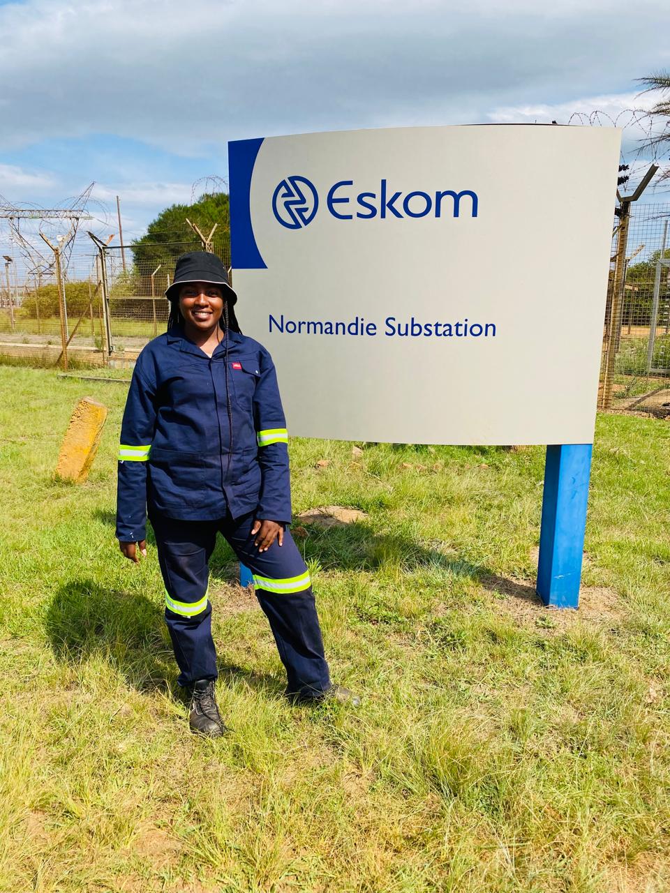
I have worked alongside subcontractors on Eskom projects, assisting with as-built surveys for electrical infrastructure at various sites across multiple provinces. This experience included verifying and documenting the precise locations of substations and power lines to ensure alignment with engineering specifications. I have also conducted topographic surveys for several municipalities, utilizing a variety of instruments such as GPS receivers, total stations, digital levels, and GIS software. These tools enabled me to accurately capture and analyze spatial data, producing detailed maps that support infrastructure planning and management.
Contact & Resume Download
email
nngwanaletshaba@gmail.com
phone
+27 76 010 0046
chat
Message on WhatsApp
location_on
Sekhukhune District, Limpopo, South Africa
language
LinkedIn Profile